In the past decade, the surveying industry has experienced a technological revolution. What once relied on labor-intensive field crews, manual measurements, and slow data processing has rapidly evolved into a domain where unmanned aerial vehicles—commonly known as drones—play a central role. The rise of drone technology in surveying represents a shift toward faster, safer, more accurate, and cost-effective data collection that is transforming sectors from construction and mining to environmental management and urban planning.
What Is Drone Surveying?
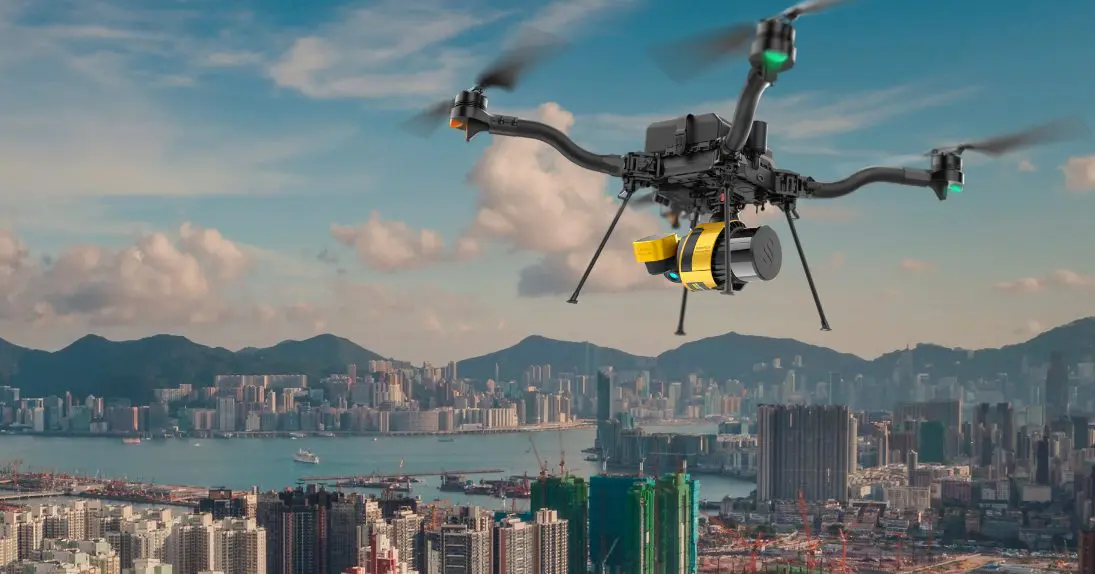
Drone surveying involves the use of unmanned aerial vehicles (UAVs) equipped with specialized sensors—such as high-resolution cameras, LiDAR (Light Detection and Ranging), multispectral imagers, and GPS systems—to capture spatial data from above. These drones fly over a designated area, gathering detailed imagery and measurements that are processed into usable outputs like orthomosaic maps, digital elevation models (DEMs), 3D point clouds, and contour maps. This aerial perspective enables surveyors to analyze land features, terrain, and built environments with precision and speed that traditional ground methods cannot match.
Why Drone Technology Is Rising in Surveying
Several key trends have fueled the adoption of drones in surveying:
- Technological advancements in sensors, flight control, and data processing software have made drone surveying more capable and accessible than ever.
- Cost pressures in construction, mining, and land development sectors are pushing companies to adopt more efficient data-collection methods.
- Safety concerns have underscored the value of remote data capture, especially in hazardous or hard-to-reach environments.
- Regulatory frameworks in many countries have matured to support commercial drone operations, making it easier for professionals to integrate UAVs into their workflows.
These factors combined have accelerated the shift toward smart surveying solutions that leverage drone technology.
Benefits of Drone Surveying
1. Enhanced Speed and Efficiency
One of the most immediate advantages of drone surveying is speed. Traditional ground surveys often require days or weeks of fieldwork, especially over large or difficult terrain. Drones, by contrast, can cover extensive areas in a fraction of the time. Aerial surveys that might take ground crews multiple days can often be completed in just a few hours, dramatically reducing project timelines.
This efficiency doesn’t just save time—it also enables more frequent data collection. Projects that benefit from regular updates, such as construction progress monitoring or environmental change detection, can use drone surveys to gather up-to-date information on demand.
2. Improved Accuracy and Data Quality
Modern drones are equipped with advanced GPS systems, Real-Time Kinematic (RTK) positioning, and high-resolution sensors that enable extremely precise measurements. These technologies allow drones to capture data with centimeter-level accuracy, which is often comparable to—or better than—traditional surveying methods.
Moreover, the data collected by drones can be processed into rich 3D models and orthomosaic images that provide detailed spatial context. This high-resolution data is invaluable for engineers, planners, and GIS professionals who require accurate inputs for design, analysis, and decision-making.
3. Enhanced Safety
Safety is a major concern in many land surveys environments. Surveyors working on steep slopes, near active construction zones, in dense vegetation, or in mining sites face significant risks. Drones mitigate these hazards by capturing data remotely, eliminating the need for personnel to enter dangerous areas.
By reducing human exposure to risk, drone surveying not only protects workers but also minimizes liability and lowers the need for extensive safety planning and protective equipment.
4. Cost-Effectiveness
While the initial investment in drone hardware and software may seem significant, the long-term cost savings are substantial. Drones reduce labor requirements, decrease the need for heavy equipment, and shorten project timelines. As a result, operational costs drop, and the return on investment improves.
For many organizations, this cost-effectiveness makes drone surveying an attractive alternative to conventional methods, especially for repetitive or large-scale projects.
5. Accessibility and Reach
Drones excel in environments that are difficult for ground crews to access—such as dense forests, steep terrain, or large open areas. They can fly over obstacles and capture data from vantage points that would otherwise require extensive physical effort or specialized equipment to reach.
This capability expands the scope of surveying tasks that can be completed efficiently and safely, opening up new possibilities for land management, environmental monitoring, and infrastructure inspection.
6. Environmental and Sustainability Benefits
Compared to traditional survey methods that might involve vehicles, heavy equipment, and significant field operations, drone surveying is relatively low-impact. UAVs consume less fuel, cause minimal disruption to the land, and reduce the carbon footprint associated with surveying activities.
For projects with sustainability goals—such as conservation planning or green infrastructure development—drone technology offers a cleaner and more environmentally friendly approach.
Applications Across Industries
Drone surveying is not limited to a single sector; its applications are broad and growing:
- Construction and Civil Engineering: Drones are used to monitor site progress, check earthworks, and verify as-built conditions. Accurate aerial data helps prevent costly errors and supports better coordination among stakeholders.
- Mining: Aerial surveys assist with volumetric measurements, pit mapping, and stockpile analysis, improving planning and safety in mining operations.
- Agriculture: Beyond land surveying, drones equipped with multispectral sensors help farmers assess crop health, manage irrigation, and optimize inputs.
- Environmental Monitoring: Drones facilitate habitat mapping, erosion assessment, and disaster response planning by providing timely and accurate spatial data.
- Urban Planning and Real Estate: Developers and planners use drone surveys to assess site conditions, visualize development scenarios, and communicate plans with stakeholders. Insights from communities indicate that high-resolution drone imagery improves project transparency and decision-making.
Challenges and Considerations
Despite its many benefits, drone surveying also presents challenges. Regulatory requirements for UAV operations vary by country and may impose restrictions on flight altitude, line-of-sight, or no-fly zones. Weather conditions like wind and rain can affect data quality and flight safety. Additionally, processing drone data requires specialized software and technical expertise, which may necessitate training or partnerships with service providers.
It’s also important to recognize that drones complement rather than replace traditional surveying methods. Some high-precision tasks or legal boundary determinations may still require ground-based measurements and professional oversight. The most effective surveying strategies often combine drone data with conventional techniques for optimal results.
The Future of Smart Surveying
As drone technology continues to advance, its role in surveying is likely to expand further. Emerging innovations—such as autonomous flight planning, artificial intelligence for automated feature extraction, and improved sensor miniaturization—will enhance the capabilities of UAVs. Integration with geographic information systems (GIS), building information modeling (BIM), and real-time data analytics will make drone surveying an even more indispensable tool for spatial professionals.